
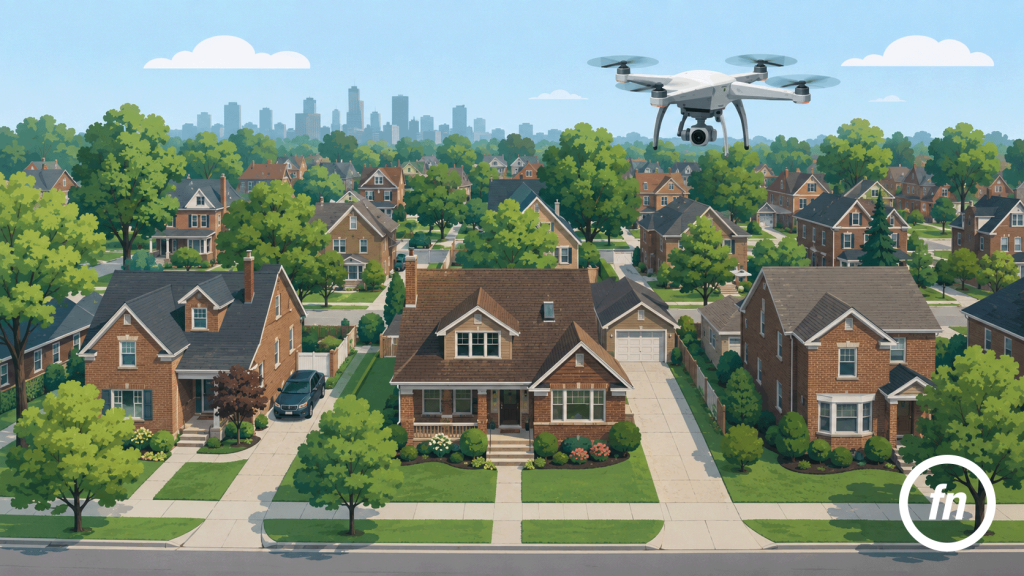
Drone photography in real estate can help a listing tell a bigger story.
Standard listing photos show the home from the ground. They show the front exterior, rooms, finishes, backyard, and key features.
Drone photos show what is harder to see from the ground, such as:
- Lot size
- Property shape
- Backyard space
- Location
- Nearby parks or water
- Street position
- Roofline
- Outbuildings
- Driveways
- Neighborhood context
With 83% of buyers rating photos as a very useful feature when home shopping, drone photography is not just about getting a dramatic overhead shot. It’s about intriguing buyers and getting from showing to a signed sale contract faster.
Drone Photography Should Have a Purpose
Not every listing needs drone photos.
That is the most important thing to understand.
Drone photography works best when it adds information that regular photos cannot show clearly. If the aerial view does not help explain the property, location, or value, it may not be necessary.
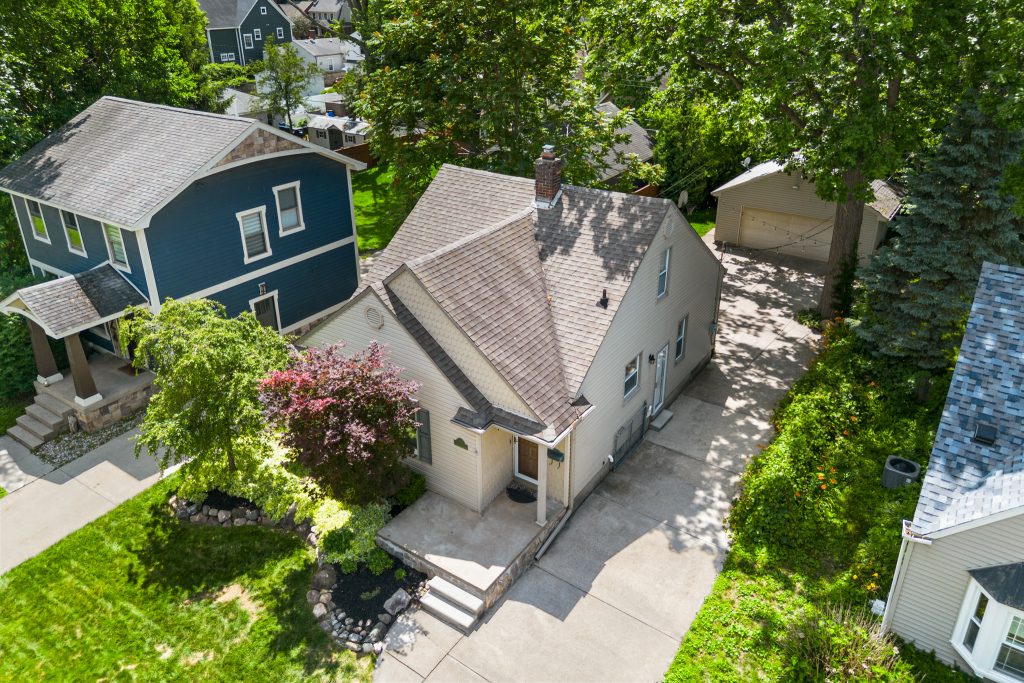
A good drone photo should answer a buyer’s question.
For example:
- How big is the yard?
- Is the home on a corner lot?
- How close is the home to the water?
- What does the roofline look like?
- How private is the backyard?
- Is there space for parking?
- What is around the property?
- How does the home sit on the lot?
When drone photography answers questions like these, it becomes useful.
When it only exists to look impressive, it can feel unnecessary.
When Realtors Should Use Drone Photography
Drone photography makes the most sense when the property has exterior features, location advantages, or layout details that are hard to show from the ground.
Large Lots
Large lots are one of the best use cases for drone photography.
Ground photos can show the front yard or backyard, but they do not always show the full size of the property. A drone photo can help buyers see the entire lot in one view.
This is helpful for homes with:
- Deep backyards
- Wide lots
- Extra side yards
- Wooded land
- Multiple outdoor zones
- Long driveways
- Detached garages or outbuildings
In Metro Detroit, this can be especially helpful in areas like West Bloomfield, Bloomfield Hills, Troy, Rochester Hills, and other suburbs where lot size can be a major selling point.
Corner Lots
Corner lots can be difficult to explain with standard photos.
Aerial images help buyers see how the home sits between two streets. They can also show side yards, fencing, garage access, and driveway placement.
This is useful because corner lots often have a different feel than interior lots.
A drone photo gives buyers a clearer view before they schedule a showing.
Waterfront or Water-Adjacent Homes
If a home is near water, drone photography can be very valuable.
A ground-level photo may show a glimpse of the water, but an aerial image can show the full relationship between the home and the shoreline.
This can help with listings near:
- Lake St. Clair
- Canals
- Marinas
- Rivers
- Ponds
- Private lakes
- Waterfront parks
In areas like Grosse Pointe, St. Clair Shores, Harrison Township, and parts of Macomb County, location can be a major part of the listing story.
Drone photography helps show that context.
Homes Near Parks or Landmarks
Some homes are more valuable because of what they are near.
Aerial photography can help show proximity to:
- Parks
- Golf courses
- Schools
- Trails
- Downtown districts
- Waterfront areas
- Shopping corridors
- Major roads
- Neighborhood amenities
This is helpful when the location is part of the home’s appeal.
For example, a Royal Oak listing near downtown, a Detroit home near Belle Isle, or a Grosse Pointe home near the lakefront are excellent candidates to benefit from aerial context.
New Construction
Drone photography is useful for new construction because it can show the full property, street, and surrounding area.
It can also show progress during different stages of a build.
For builders, developers, and agents, drone images can help communicate:
- Site position
- Exterior design
- Lot size
- Nearby development
- Construction progress
- Street and neighborhood context
This can be useful for marketing one home or documenting a larger project.
Luxury and Higher-End Listings
Higher-end listings often need a more complete media package.
Professional photography is still the foundation, but drone images can help make the listing feel more polished.
Drone photography can show:
- Property scale
- Landscaping
- Pool areas
- Long driveways
- Gated entries
- Outdoor living spaces
- Nearby amenities
- Architectural shape
In areas like Birmingham, Bloomfield Hills, Grosse Pointe, Northville, and West Bloomfield, aerial photos can help buyers understand the full property experience.
Homes With Strong Curb Appeal
If a property has strong landscaping, a clean roofline, a large front yard, a circular driveway, or a well-designed exterior, drone photography can help show that.
This is especially useful when the exterior is one of the home’s strongest selling points.
Homes With Outdoor Living Spaces
Outdoor living can be a major buyer feature. Drone photos can help show how outdoor spaces connect to the home.
This works well for properties with:
- Pools
- Decks
- Patios
- Fire pits
- Outdoor kitchens
- Large backyards
- Garden areas
- Sport courts
- Detached garages
- Guest houses
Aerial images help buyers understand the full backyard layout, not just one corner of it.
Rural, Acreage, or Estate Properties
For acreage properties, drone photography is often essential.
A buyer cannot understand several acres from ground photos alone.
Drone images can show:
- Land boundaries
- Tree lines
- Open fields
- Driveways
- Outbuildings
- Trails
- Water features
- Neighboring properties
- Road access
Even if the listing description includes acreage, buyers still benefit from seeing the land visually.
Commercial and Investment Properties
Drone photography can also be useful for commercial and investment listings.
For these properties, buyers often care about access, parking, visibility, and surrounding development.
Drone images can help show:
- Parking lots
- Entrances
- Nearby roads
- Traffic corridors
- Adjacent businesses
- Parcel layout
- Building position
- Site access
For Detroit and Metro Detroit investment properties, aerial photos can also help buyers understand the block, surrounding lots, and property placement.
When Drone Photography May Not Be Needed
Drone photography is useful, but it is not always the right fit.
The Lot Is Small and Standard
If the home sits on a standard city lot with limited outdoor space, drone photos may not add much.
In this case, strong interior and exterior photography may be more important.
The Surroundings Do Not Help the Listing
Aerial photos show more than the home.
They also show nearby properties, roads, lots, utilities, and surrounding conditions.
If the area around the home does not support the listing story, drone photography may not be the best choice.
The Weather Is Poor
Wind, rain, snow, harsh midday light, and gray skies can all affect drone results.
Michigan weather can change quickly, so it is important to plan drone shoots carefully.
Sometimes it is better to wait for cleaner conditions rather than force the shot.
There Are Airspace or Safety Concerns
Drone photography has to be done safely and legally.
The FAA says drone pilots flying for work or business with a small drone under 55 pounds must follow Part 107 rules. The FAA also notes that operators may need airspace authorization in controlled airspace and must know where it is safe to fly.
That means professional drone work should not be treated casually.
If the airspace, weather, people, traffic, or property conditions do not allow for safe operation, the shot may need to be skipped or rescheduled.
How to Prepare a Property for Drone Photography
If drone photography is part of the listing package, the exterior should be ready before the shoot.
Exterior Prep Checklist
- Move cars from the driveway.
- Remove trash and recycling bins.
- Clean the front porch.
- Put away hoses and yard tools.
- Straighten outdoor furniture.
- Clear the driveway.
- Remove toys and clutter from the yard.
- Clean pool or patio areas if applicable.
- Cut grass when possible.
- Clear snow from walkways in winter.
- Make sure gates are unlocked.
- Let neighbors know if needed.
Drone photos show more of the property, so exterior prep matters.
Frequently Asked Questions
Final Thoughts
Drone photography can be a powerful tool for real estate listings, but it should be used with purpose.
It works best when it helps buyers understand the property, lot, location, or exterior features more clearly.
For some homes, drone photography helps show space. For others, it helps show location. For higher-end listings, it can make the presentation feel more complete.
The key is knowing when aerial media adds value.
For agents, builders, and property owners in Metro Detroit, Focus Nest Media creates listing media that helps buyers see the full picture.
Ready to give your next listing a stronger online presentation? Book your real estate photography and drone media shoot with Focus Nest Media.
